Columbia Law School Project to Draw Congressional Maps for Redistricting Goes Live
Columbia Law School Project to Draw Congressional Maps for Redistricting Goes Live
The initial work of a Columbia Law School class that intends to draw nonpartisan maps of all 435 Congressional districts is now online. The maps can help states draw boundaries that will stay in place for the next decade.
Visitors to the website DrawCongress.org can click on pushpins to view maps for states where redistricting plans have been uploaded. All plans attempt to comply with applicable state and federal laws, including the requirement of one-person, one-vote and the Voting Rights Act of 1965, Persily said.
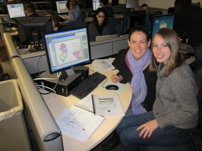
Kristine VanHamersveld '11 and Jessica Riggin '11 at a January training for the redistricting software. The pair have drawn a redistricting map for New Jersey and will next take on Calfifornia.
While the maps are nonpartisan, there are several variations with different principles behind the construction of each map. For example, there are so called “GooGoo” or “good government” maps. They attempt to represent boundaries based on political subdivisions, such as cities and counties, rather than the often-serpentine boundaries drawn up by partisan mapmakers to strengthen a party’s power base. Another variation is “MaxCom” maps, which maximize political competition by creating as many districts as possible evenly split between Republicans and Democrats.
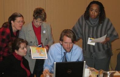
“The students were, in effect, teaching the very people who will help determine the new district boundaries,” Persily said. For more information, visit www.drawcongress.org.